Appearance
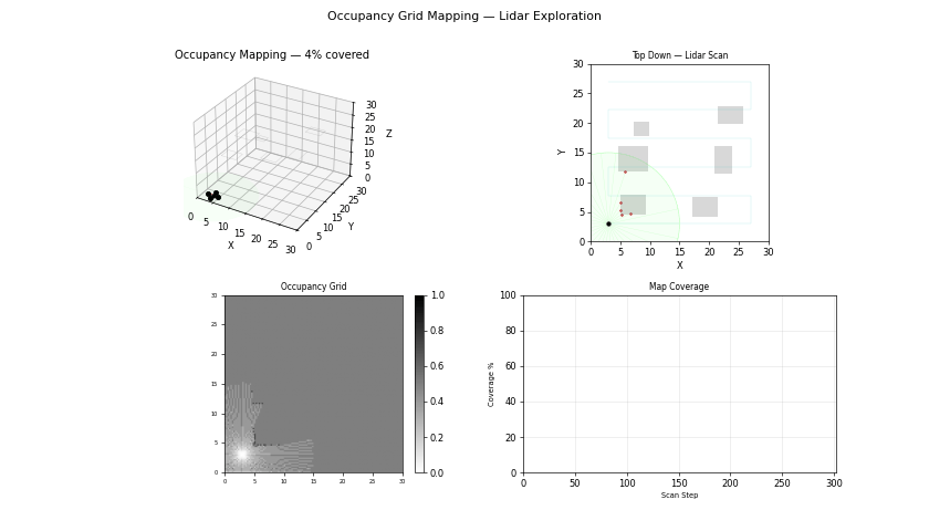
Occupancy Mapping
Problem Statement
Occupancy mapping converts range observations into a probabilistic spatial model for collision checking and navigation. It underpins path planning and local obstacle avoidance.
Model and Formulation
Log-odds update for each cell:
$$ L_t(m_i)=L_{t-1}(m_i)+\log\frac{p(m_i|z_t)}{1-p(m_i|z_t)}-L_0 $$
Probability recovery:
$$ p(m_i)=1-\frac{1}{1+\exp(L_t(m_i))} $$
Algorithm Procedure
- Ray-cast each lidar measurement through the grid.
- Mark traversed cells as free and endpoint as occupied.
- Update log-odds with inverse sensor model.
- Export occupancy map to planning modules.
Tuning and Failure Modes
- Incorrect sensor model causes inflated false positives/negatives.
- Dynamic obstacles can leave ghost occupancy without decay logic.
- Grid resolution too coarse obscures narrow passages.
Implementation and Execution
bash
python -m uav_sim.simulations.perception.occupancy_mappingEvidence
References
- Thrun, Burgard, Fox, Probabilistic Robotics
- Elfes, Occupancy Grids for Mobile Robot Perception and Navigation (1989)